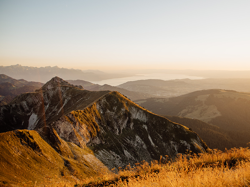
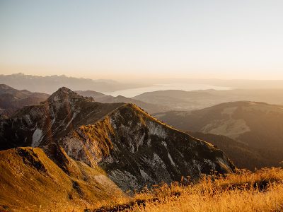
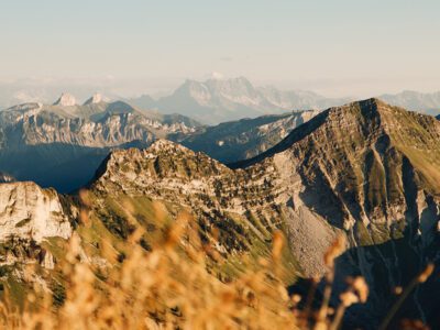
Contemplate the lakes of French-speaking Switzerland, the Jura and the Alps, from Mont Blanc to the Eiger, on a hike that’s easy on the way down or challenging on the way up.
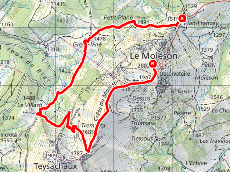
Follow the Crête linking the summit of Moléson to Teysachaux, and reach Moléson-Village on foot or by funicular from Plan-Francey, after stopping at the Gros-Plané refreshment bar.
You’ll love the scenery! Enjoy the walk!

Marked route, follow route number “270” on the yellow signs.
Take the funicular to Plan-Francey and then walk towards the Gros Plané alpine refreshment bar.
Continue straight ahead towards the Villard alpine pasture.
At the crossroads, turn left on the carriage road to get to the Tremetta chalet.
At the pass, take the Crête du Moléson, which climbs slowly until you reach the end of the walk.
The restaurant’s observatory offers a breathtaking view of the Alps, the Lake Geneva region and the Gruyère region.
Tip: if you prefer, you can head back to Plan-Francey on foot via Le Petit Plané (allow 1 hour and 10 mins), or via Tsuatsau-Dessus (1 hour 30 mins).
Discover all the trails of Moléson